News Story
UMD hosts Dr. Heng Wei from the University of Cincinnati
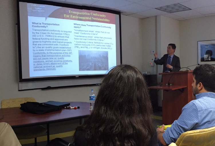
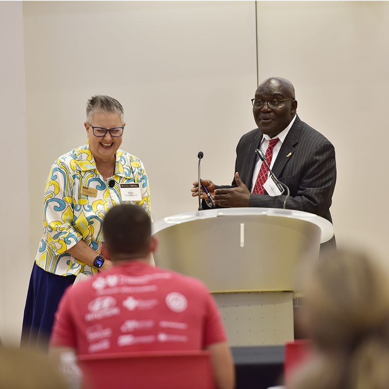
Full size image: Dr. Heng Wei presenting to UMD faculty and students.
On Thursday April 16, Dr. Heng Wei, Associate Professor and Director of the ART-Engines Transportation Research Laboratory at the University of Cincinnati, came and spoke to University of Maryland transportation students and faculty. The title of the talk was "Integrating Urban Development and Traffic Control Measures with Environmental Sustainability." It was held in the DeWALT Seminar room and had a high turnout.
Dr. Wei began the talk with an overview of EPA goals for "transportation conformity," meaning that transportation in regions much meet certain standards set by the Clean Air Act. There is a need to track both "non-attainment" areas -- those that do not meet the criteria -- and "maintenance" areas -- those that have previously not met them. He described the various types of environmental pollutants, with particulate matter PM2.5, which is mostly produced by diesel trucks, being among the most harmful.
The goal of sustainable development, which has been emphasized by UN Secretary-General Ban Ki-moon, spans the topics of land use, socioeconomic factors, and transportation infrastructure, and thus provides a complex but important research issue.
For the remainder of the talk, Dr. Wei gave a walk-through of the Air-SUSTAIN software (Synthetic Urban Scenario-based Traffic-related Air Impact aNalysis) that is being developed at the University of Cincinnati. It is a user-friendly tool that estimates the environmental impacts from various land use and transportation development policies. In order to do so, it must model several variables, including the future demand for travel, vehicle emissions, and vehicle energy consumption.
Getting the data necessary as input for the tool is a monumental task. Different local and state DOTs all separately manage their vehicle detector data, which may come from either loop detectors or video-based detectors, the latter posing a significant challenge to process. Additionally, the age of the vehicles in the system must be known or approximated, and this data is notoriously unreliable.
Users of the tool can design different scenarios, for example an infill development plan, a transit expansion, or a 'no change' (baseline) plan. The region under consideration is broken up into smaller zones, which is accomplished using GIS technology. Then the amount of emissions for each zone is forecast for some future year. The emission forecasting is done using the EPA's MOVES model. Additionally, average travel time and delay of drivers and transit riders is forecast, and this is accomplished by running a traffic assignment model. All of the results can be displayed graphically and the output can be used to identify "hotspot" regions as determined by the FHWA guidelines.
As was pointed out by an audience member, the tool does not try to predict the fuel efficiency of future vehicles, but simply uses the current values reported by the EPA as given. This means emission estimates probably err on the side of overestimation.
The tool has been demonstrated on the Cincinnati metropolitan area, and the results were written up in the paper "Scenario-Based Carbon Footprint Inventory Tool for Urban Sustainable Development Decision Support: The Cincinnati Case Study," which was included in this year's TRB annual meeting (link to abstract: http://trid.trb.org/view.aspx?id=1288731).
Air-SUSTAIN has made an impressive effort in combining several modeling frameworks in order to address the crucial issue of sustainable transportation and land use development. While it was noted that each component model is not necessarily at the cutting edge of its particular field, each of these can be improved upon with time.
Published April 30, 2015
Recent Stories
Stories / Apr 14, 2026
UMD Research Sheds Light on Palisades Fire Pileups

Stories / Jun 5, 2024
EVs and Equity: Closing the Gap

Stories / Apr 12, 2024
Improving Access to Electric Vehicles Through Crowdfunding
Stories / Feb 9, 2024
TRB Roundup: EVs and Equity

Stories / Feb 9, 2024
Hu Receives COTA Best Dissertation Award

Stories / Jan 26, 2024
Study Finds Race-based Disparities in Railroad Safety

Stories / Dec 7, 2023
Sloan Foundation Supports Decarbonization Research
Stories / Dec 7, 2023
Post-Pandemic Traffic Trends: Washington Post Taps MTI Expertise
Stories / Oct 12, 2023
UMD Hosts Roundtable on Bipartisan Infrastructure Law
Stories / Jul 13, 2023
Pamuru Wins CREF Scholarship