Arizona State University, University of New Orleans
Year: 2015
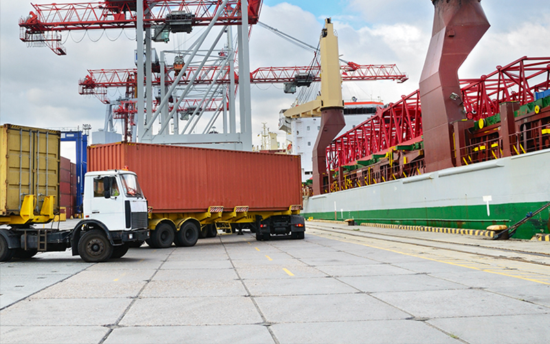
American ports constitute an important driver for economic development at local, regional, and national levels. In light of this importance, MAP-21 officially establishes eligibility for surface transportation infrastructure located within a port terminal. Additionally, MAP-21 allows a state to designate a road near a port as a critical freight corridor if the road is a rural principal arterial roadway and has a minimum of 25 percent of the annual average daily traffic of the road measured in passenger vehicle equivalent units from trucks, or if the road provides access to energy exploration, development, installation, or deduction areas, or if the road connects the primary freight network or interstate systems to facilities that handle more than 50,000 twenty foot equivalent units per year or 500,000 tons per year of bulk commodities.
While the economic benefits from ports are clear the true impacts from port related freight traffic with respect to infrastructure costs is less well studied. Complicating the evaluation, these impacts are likely to contain spatial and temporal variations, and an understanding of these effects will support important planning and assessment studies. The objective of this study is to evaluate the impacts of the ports on the pavement infrastructure in both time and space domains. The study centers on a hypothesis that the increased movement of goods and increase in commercial activity associated with ports also creates a heretofore unaccounted for and potential negative impact on the pavement infrastructure thereby lowering the true benefits of port expansions/development. However, this impact will likely not be consistent along the entire corridor and this study will seek to establish the size and necessary build-out time for infrastructure surrounding the ports.
Top